Welcome to Jessica Bernal’s site🦥
Hi, I’m Jessica Bernal, a Spanish biologist with geomatics, spatial modelling, and environmental law expertise. My passion for macroecology and advanced spatial modelling drives my work in environmental consulting services and as a co-leader of Hub-Terra, focusing on geospatial solutions for conservation, land management, and natural resource planning. As a PhD candidate at the University of Córdoba, I am also actively engaged in the DesFutur project, delving into the spatiotemporal dynamics of invasive species in the context of desertification in the southeast of the Iberian Peninsula.
Explore my research, projects, and publications, and delve into my blog posts and SciComm section for insights on environmental topics in English or Spanish. Connect with me on ResearchGate, LinkedIn, and Github, or reach out for inquiries and collaborations.
Thank you for stopping by!
Projects

Materias Primas Fundamentales y Transición Energética
El grupo de investigación SEJ174 - Implicaciones normativas del medio ambiente: estándares ambientales y directriz ambiental, vinculado a la Universidad de Málaga, centra su trabajo en el estudio del tratamiento normativo del medioambiente a partir de los principios y estándares que operan como directrices de actuación.
DesFutur
Como parte de mi doctorado en la Universidad de Córdoba, estoy inmersa en el proyecto DesFutur, financiado por la Fundación Biodiversidad. Mi investigación aborda la dinámica espacio-temporal de la expansión e impacto de especies de flora invasora, un aspecto crítico en el contexto de la desertificación en el sudeste de la Península Ibérica.
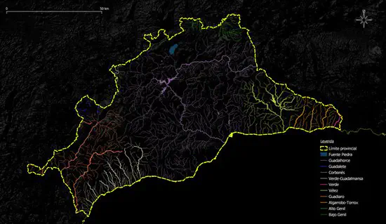
Riesgos hidrológicos y planeamiento en la provincia de Málaga
Málaga se sitúa en una de las regiones mediterráneas más amenazadas por los riesgos asociados al cambio climático, entre ellos los relacionados con el agua. Así lo reconoce la legislación europea, estatal y autonómica y sobre todo, así lo demuestran de manera evidente los cada vez más frecuentes e intensos episodios torrenciales, de inundaciones y de sequías que afectan de forma directa al ámbito ecológico, social y económico malagueño.

Hub-Terra
At Hub-Terra, we are dedicated to advancing our understanding of species and ecosystems through a diverse array of cutting-edge technologies and methodologies. Our team commits to unearthing new insights and providing actionable information that can drive conservation strategies forward.
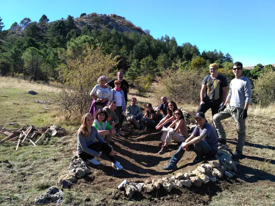
Ecoherencia
Durante mis primeros años como bióloga, tuve la oportunidad de colaborar con Ecoherencia SCA, una cooperativa que se dedica con pasión a la educación ambiental y a la restauración de ecosistemas.

SIBES Project
SIBES (Synoptic Intertidal Benthic Survey) is a systematic long-term ecological time series programme for organisms that live in or on intertidal mudflats, the so-called benthos. Every year the abundances and distribution of benthic organisms is mapped across the entire Dutch Wadden Sea. The systematic monitoring data are an essential component of many studies like WATLAS explaining how animals (birds, fish) distribute, and how their survival prospects depend on habitat use. SIBES is the largest annual sampling campaign in the world, setting the standard for the way benthic organisms are sampled on mudflats worldwide.
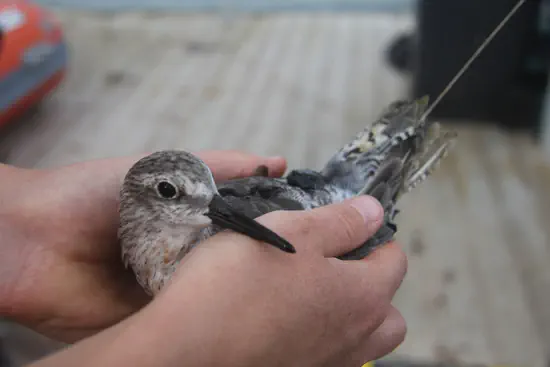
Global Flyway Ecology
Team Piersma is a group of researchers working with Prof. Dr. Theunis Piersma under the umbrella of Global Flyway Network, a foundation under Dutch law. Their home bases are the University of Groningen, NIOZ Royal Netherlands Institute for Sea Research, and associated institutes along the flyways where the team conducts studies on shorebirds and spoonbills.
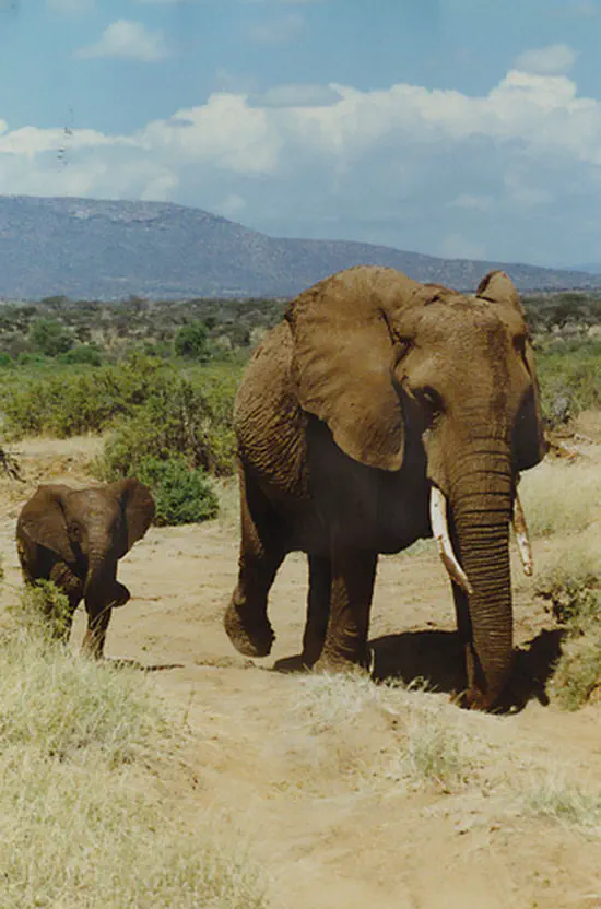
Addressing Human-Wildlife Conflict in Limpopo National Park
The collaborative project with IDAF-Forestry Consulting focuses on mitigating human-wildlife conflict in Limpopo National Park through a comprehensive approach. By combining advanced modeling techniques, robust data collection methods, and collaboration with local agents, we aim to predict the distribution of large herbivores and identify areas at a higher risk of conflict. Furthermore, evaluating existing mitigation strategies will provide valuable insights into their effectiveness, allowing us to refine and develop more successful measures. Through our collaborative efforts, we strive to promote the coexistence of wildlife and human communities, fostering a sustainable balance within this remarkable natural habitat.
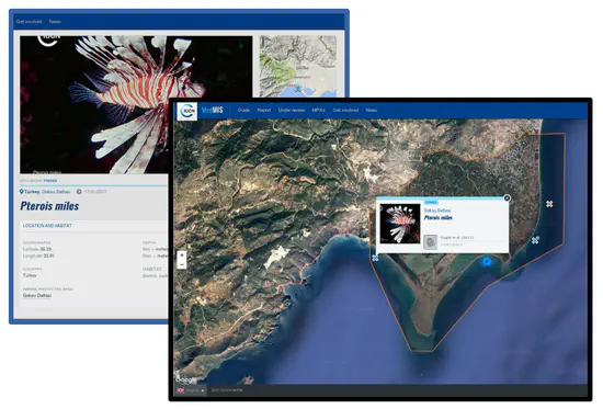
Iniciativa MedMIS
La Iniciativa MedMIS fue un proyecto pionero en el monitoreo y asistencia de especies marinas invasoras en espacios marinos protegidos del Mediterráneo (AMPs). Las especies invasoras representan una de las mayores amenazas para la biodiversidad en las áreas marinas protegidas y en el mar Mediterráneo.

Evaluación Ambiental de Proyectos Constructivos según la Ley 21/2013
La Evaluación Ambiental de proyectos constructivos es esencial para determinar el impacto potencial de dichos proyectos en el medioambiente y garantizar la sostenibilidad en el largo plazo. En España, la Ley 21/2013, de 9 de diciembre, de evaluación ambiental, regula la evaluación ambiental de proyectos y establece las bases para la realización de estudios de impacto ambiental.
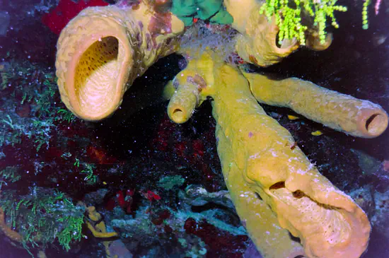
Primera Evaluación del Filo Porifera a Nivel Mediterráneo para la Lista Roja de la UICN
Las esponjas, con más de 500 millones de años de historia, desempeñan un papel crucial en la estructuración de hábitats en el mar Mediterráneo. En los últimos años, la recolección de esponjas en la región ha aumentado significativamente, lo que, sumado a las mortalidades por epidemias y las amenazas derivadas del cambio global, hace necesaria una evaluación y regulación de su situación en el Mediterráneo.
Publications
Featured Publications
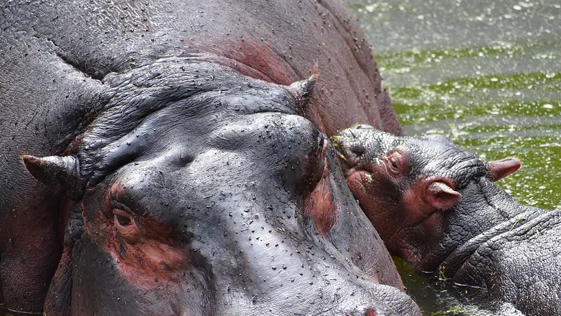
Among the large herbivores that inhabit the Mozambican Limpopo National Park are the elephant (L. africana), the buffalo (S. caffer), and the hippo (H. amphibius). Although since the moment of declaration of the territory as a National Park in 2001 the existing population within the park and adjoining areas have been relocating outside of it, the negative human interaction with the species continue to occur, a conflict exacerbated by drought and increasing pressure on freshwater resources. In this work, we approach this conflict through ensemble modeling of species and interactions, exploring the statistics to eventually provide heat maps of potential conflict areas in and around the park. The ensemble statistics showed in general good results in TSS (0.72-0.78), ROC (0.91-0.95), and Kappa (0.4-0.65) values. RF, Maxent, and GAM show better performance, with the variables of most importance in the models being altitude and mean temperature of the warmest month for L. africana; altitude and annual precipitation for S. caffer; and the dry season NDWI and annual precipitation for H. amphibius. Potential conflict points are found around the park, mainly distributed in the western half of it, if we consider the probability gradient of occurrence of the species. Our results illustrate the potential application of habitat distribution models in the study of human-wildlife conflicts.
SciComm
Events, talks & more
Recent Posts
Code, news, and reflections from a biologist
Contact
- jessicabernal@uma.es
- Blvr. Louis Pasteur 31, Malaga, Andalusia 29010

