Overcoming the Challenge of Poor Ecological Census Data and Techniques in Habitat Suitability and Species Distribution Modeling
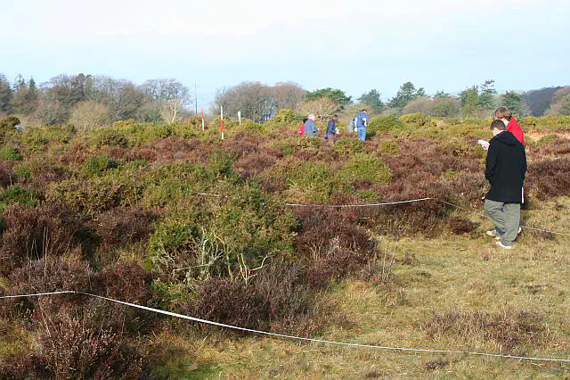
 Fieldwork on Roborough Down by Tony Atkin is licensed under CC-BY-SA 2.0
Habitat suitability and species distribution modeling are powerful tools that can inform conservation and management efforts for threatened and endangered species. However, these models are only as good as the data and techniques used to develop them. One major challenge faced by researchers and practitioners in this field is the lack of high-quality ecological census data and techniques, which can lead to inaccurate models and flawed management decisions. In this post, we explore this challenge and offer some solutions to overcome it.
Ecological census data is essential for species distribution modeling, as it provides information on the presence and absence of species in specific areas. However, collecting accurate census data can be a difficult and time-consuming process, especially for species that are rare, elusive, or difficult to identify. In addition, there may be biases in the data collection process, such as uneven sampling effort or incomplete spatial coverage. These issues can lead to incomplete or inaccurate data, which can in turn result in flawed models.
Another challenge is the use of inappropriate or outdated techniques for data analysis. For example, some researchers may rely on simple regression models or basic GIS analyses, which may not be suitable for complex ecological datasets. Similarly, some researchers may not account for important environmental variables, such as topography, soil quality, or climate, which can affect species distributions. These limitations can lead to inaccurate or incomplete models.
Despite these challenges, there are several strategies that can help overcome the limitations of poor ecological census data and techniques. For example:
- Use Multiple Data Sources: Instead of relying on a single data source, researchers can combine multiple sources to get a more complete picture of species distributions. This might include citizen science initiatives, remote sensing, camera trapping, or acoustic monitoring data.
- Incorporate Advanced Techniques: Advanced statistical and machine learning techniques can help account for complex data structures and relationships, and can also identify patterns that may not be apparent with traditional methods.
- Validate Models with Independent Data: Validating models with independent data can help ensure their accuracy and generalizability. This might involve using data from other studies from monitoring programs, or conducting field surveys to confirm model predictions.
In conclusion, poor ecological census data and techniques can pose significant challenges to habitat suitability and species distribution modeling. However, using multiple data sources, advanced techniques, and independent validation, researchers and practitioners can overcome these limitations and develop more accurate and reliable models. By doing so, we can better inform conservation and management efforts, and ultimately help protect threatened and endangered species for future generation
- Elith, J., Graham, C. H., Anderson, R. P., Dudik, M., Ferrier, S., Guisan, A., … & Zimmermann, N. E. (2006). Novel methods improve prediction of species’ distributions from occurrence data. Ecography, 29(2), 129-151. DOI: 10.1111/j.2006.0906-7590.04596.x
- Franklin, J. (2010). Mapping species distributions: spatial inference and prediction. Cambridge University Press. DOI: 10.1017/CBO9780511810602
- Guisan, A., & Thuiller, W. (2005). Predicting species distribution: offering more than simple habitat models. Ecology Letters, 8(9), 993-1009. DOI: 10.1111/j.1461-0248.2005.00792.x
- Phillips, S. J., Anderson, R. P., & Schapire, R. E. (2006). Maximum entropy modeling of species geographic distributions. Ecological modelling, 190(3-4), 231-259. DOI: 10.1016/j.ecolmodel.2005.03.026
- Robinson, O.J., Ruiz-Gutierrez, V., Reynolds, M.D., Golet, G.H., Strimas-Mackey, M., Fink, D. and Maiorano, L. (2020). Integrating citizen science data with expert surveys increases accuracy and spatial extent of species distribution models. Diversity and Distributions, 26(8), 976-986. DOI: 10.1111/ddi.13068
- Wintle, B. A., Walshe, T. V., Parris, K. M., & McCarthy, M. A. (2012). Designing occupancy surveys and interpreting non-detection when observations are imperfect. Diversity and Distributions, 18(4), 417-424. DOI: 10.1111/j.1472-4642.2011.00870.x