Addressing Human-Wildlife Conflict in Limpopo National Park
A Collaborative Approach
 by Christopher Jameson
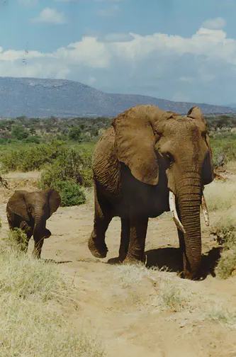
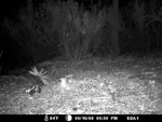
This project carried out with IDAF-Forestry Consulting and various stakeholders involved, is aimed at mitigating human-wildlife conflict in the Mozambican Limpopo National Park. Our primary objective is to develop effective tools and strategies based on ecosystem solutions to reduce conflicts between humans and three species of large herbivores within the park. By combining various methods and leveraging individual models, we seek to predict the potential distribution of these species and identify areas with a higher risk of conflict. Additionally, we are actively conducting fieldwork using camera traps and working closely with local agents to collect data and refine our models.
A crucial aspect of our project involves mapping interactions between humans and wildlife within and around Limpopo National Park. Through the use of statistical analysis, specifically utilizing R programming, we can analyze the collected data and gain insights into areas where conflicts are more likely to occur. This information will enable us to develop targeted mitigation strategies and prioritize areas requiring immediate attention.
In addition to mapping interactions, we are conducting an evaluation of the effectiveness of existing mitigation strategies implemented in the park. By assessing their practical application and analyzing their outcomes, we aim to provide a comprehensive overview of the current status of these strategies. This evaluation will help us identify successful measures and areas that require further improvement, ultimately enhancing our ability to mitigate human-wildlife conflicts effectively.
Our project thrives on collaboration and partnership with IDAF-Forestry Consulting. By working closely with their experts, we can leverage their knowledge and expertise in forestry management to refine our models and strengthen the accuracy of our predictions. Additionally, we are actively collecting data using camera traps, enabling us to gather real-time information on wildlife behavior, distribution patterns, and their interactions with human activities. This collaborative effort, combined with field data collection, enhances the reliability of our models and empowers us to make well-informed decisions.
For further information and to delve deeper into our research on mitigating human-wildlife conflict in Limpopo National Park, I invite readers to explore my recent publication available at ResearchGate the story map here, and the interactive map available at this link. This publication provides detailed insights into our methodology, findings, and recommendations for effective conservation strategies. We believe that by sharing our work, we can foster collaboration and knowledge exchange, ultimately contributing to the broader field of wildlife conservation and the coexistence of humans and animals in protected areas.
